
The National Weather Service has continued the Coastal Flood Warning for the Borough of Stone Harbor through Sunday, October 4th, at 6;00pm. The potential for moderate coastal flooding in flood-prone areas of our community continues for the next high tide event.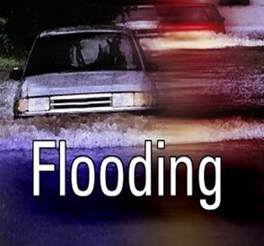
Stone Harbor has experienced minor to moderate flooding during high tide since Friday due to a low pressure system that is beginning to move away from our region.
High tide at the Townsend’s Inlet Bridge will occur Sunday at 2:02pm; on Monday, at 2:43am and again at 3:07pm. The Bridge has been closed during this storm event due to waves breaking onto the surface of the road leading to the bridge. Plan an alternate route to Sea Isle City if barricades are up preventing you from driving over the bridge.
The National Weather Service has also posted a Wind Advisory until Sunday at 10:00am for the continuing potential for wind gusts of 50mph. Windy conditions will continue through the day on Monday.
Never attempt to drive on any flooded street or a flooded intersection. This puts you, your vehicle, and emergency responders at risk. Driving on a flooded street also creates an unnecessary wake that can damage other vehicles and public and personal property. If you live in a flood prone area of our community consider moving your vehicle to higher ground in advance of the next high tide. Never drive on a street with a downed power line or cable. If you have any emergency, dial 911. Rough surf and beach erosion continues along our shoreline due to the persistent northeasterly wind.
Here is the text of the Coastal Flood Warning for Sunday, October 4th, from the National Weather Service:
… Coastal Flood Warning remains in effect until 6 PM EDT this
evening…
* coastal flooding… widespread moderate tidal flooding will
continue to occur with the high tide cycle through this afternoon.
Moderate to locally major tidal flooding is expected in many of
the back bays since the onshore flow has not allowed water from
previous high tide cycles to drain.
* Timing… the next high tide this afternoon. High tide on the
back bays and along the Delaware Bay occurs later than the high
tide on the oceanfront.
* Impacts… numerous roadways will repeatedly flood. Minor to
moderate property damage is possible… especially in prone back
bays. The Tides and wave action will result in even more beach
erosion.
* Outlook… minor coastal flooding is possible Monday at high
tide.
Precautionary/preparedness actions…
Take appropriate action to protect life and property. Follow the
recommendations of local emergency management officials. Be sure
to check the latest forecast from time to time.
Location time of predicted water level
high tide
Cape May… NJ
(oceanfront) 201 PM sun 7.5 to 8.0 feet MLLW
Lewes… de
(delaware bay) 239 PM sun around 7.5 feet MLLW
Rehoboth Beach… de
(oceanfront) 139 PM sun around 7.5 feet MLLW
Precautionary/preparedness actions…
A coastal Flood Warning means that moderate or major tidal
flooding is occurring or imminent. Be prepared for rising water
levels and take appropriate action to protect life and property.
Follow the recommendations of local emergency management
officials.
Do not drive your vehicle through flood waters. The water may be
deeper than you think it is. You will be putting yourself in
danger and your vehicle may be damaged… leading to costly
repairs.
