Friday, December 8th, 3:47pm: Storm Downgraded, Now Winter Weather Advisory

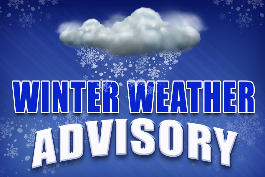
The National Weather Service has issued a Winter Weather Advisory for Cape May County.  The Advisory is in effect from Friday evening until Saturday, December 9th, at 7:00pm.  The forecast calls for the potential of one to three inches of snow for all areas of the County, including shore resorts.

Please exercise caution while driving, especially during the daylight hours of Saturday when snow is expected to be at its heaviest.  The snow is expected to mix with rain and possibly freezing rain during this storm event.

Here is the text of the Winter Weather Advisory from the National Weather Service:

Winter Weather Advisory

URGENT - WINTER WEATHER MESSAGE  National Weather Service Mount Holly NJ  334 PM EST Fri Dec 8 2017    NJZ024>026-090845-  /O.UPG.KPHI.WS.A.0001.171209T0600Z-171210T0600Z/  /O.EXA.KPHI.WW.Y.0002.171209T0000Z-171210T0000Z/  Atlantic Coastal Cape May-Coastal Atlantic-Coastal Ocean-  Including the cities of Ocean City, Atlantic City,  and Long Beach Island  334 PM EST Fri Dec 8 2017    ...WINTER WEATHER ADVISORY IN EFFECT FROM 7 PM THIS EVENING TO  7 PM EST SATURDAY...    * WHAT...Snow expected. Plan on slippery road conditions. Total    snow accumulations of 1 to 3 inches, with localized amounts up    to 5 inches, are expected.    * WHERE...Atlantic Coastal Cape May, Coastal Atlantic and    Coastal Ocean counties.    * WHEN...From 7 PM this evening to 7 PM EST Saturday.    * ADDITIONAL DETAILS...Be prepared for reduced visibilities at    times.
Friday, December 8th, 3:47pm: Storm Downgraded, Now Winter Weather Advisory2017-12-08T15:47:20-05:00

Friday, December 8th, 7:48am: Winter Storm Watch Issued for Stone Harbor

The National Weather Service has issued a Winter Storm Watch for Cape May County.  The Watch is in effect from late Friday night until about dawn on Sunday morning.  The forecast calls for the potential of three to six inches of snow for all areas of the County, including shore resorts.  Snow fall totals could be diminished when the snow mixes with some rain, especially along the coast.

Please exercise caution while driving, especially during the daylight hours of Saturday when snow is expected to be at its heaviest.

Here is the text of the Watch issued by the National Weather Service:

    • Issuing Office: Philadelphia

      Source: National.Weather.Service

      5:44am EST, Fri Dec 8

… WINTER STORM WATCH REMAINS IN EFFECT FROM LATE TONIGHT THROUGH LATE SATURDAY NIGHT… * WHAT… HEAVY SNOW POSSIBLE. PLAN ON DIFFICULT TRAVEL CONDITIONS. TOTAL SNOW ACCUMULATIONS OF 3 TO 6 INCHES ARE POSSIBLE. * WHERE… PORTIONS OF SOUTHERN NEW JERSEY. * WHEN… FROM LATE TONIGHT THROUGH LATE SATURDAY NIGHT. THE HEAVIEST SNOW ACCUMULATIONS WILL OCCUR BETWEEN 6 AM AND 6 PM SATURDAY. * ADDITIONAL DETAILS… SIGNIFICANT REDUCTIONS IN VISIBILITY ARE POSSIBLE. PRECAUTIONARY/PREPAREDNESS ACTIONS… A WINTER STORM WATCH MEANS THERE IS POTENTIAL FOR SIGNIFICANT SNOW, SLEET OR ICE ACCUMULATIONS THAT MAY IMPACT TRAVEL. CONTINUE TO MONITOR THE LATEST FORECASTS.

Friday, December 8th, 7:48am: Winter Storm Watch Issued for Stone Harbor2017-12-08T07:49:00-05:00
Go to Top